Drone Survey Services · Essex & Hertfordshire
Aerial surveys.
Zero scaffolding.
CAA-permitted drone inspections for every part of your property
Our licensed drone pilots provide 4K close-up inspections of roofs, chimneys, gutters, brickwork and facades — delivering detailed written reports with geo-tagged imagery in as little as 48 hours.
Why drone surveys
See every defect before it becomes a costly repair
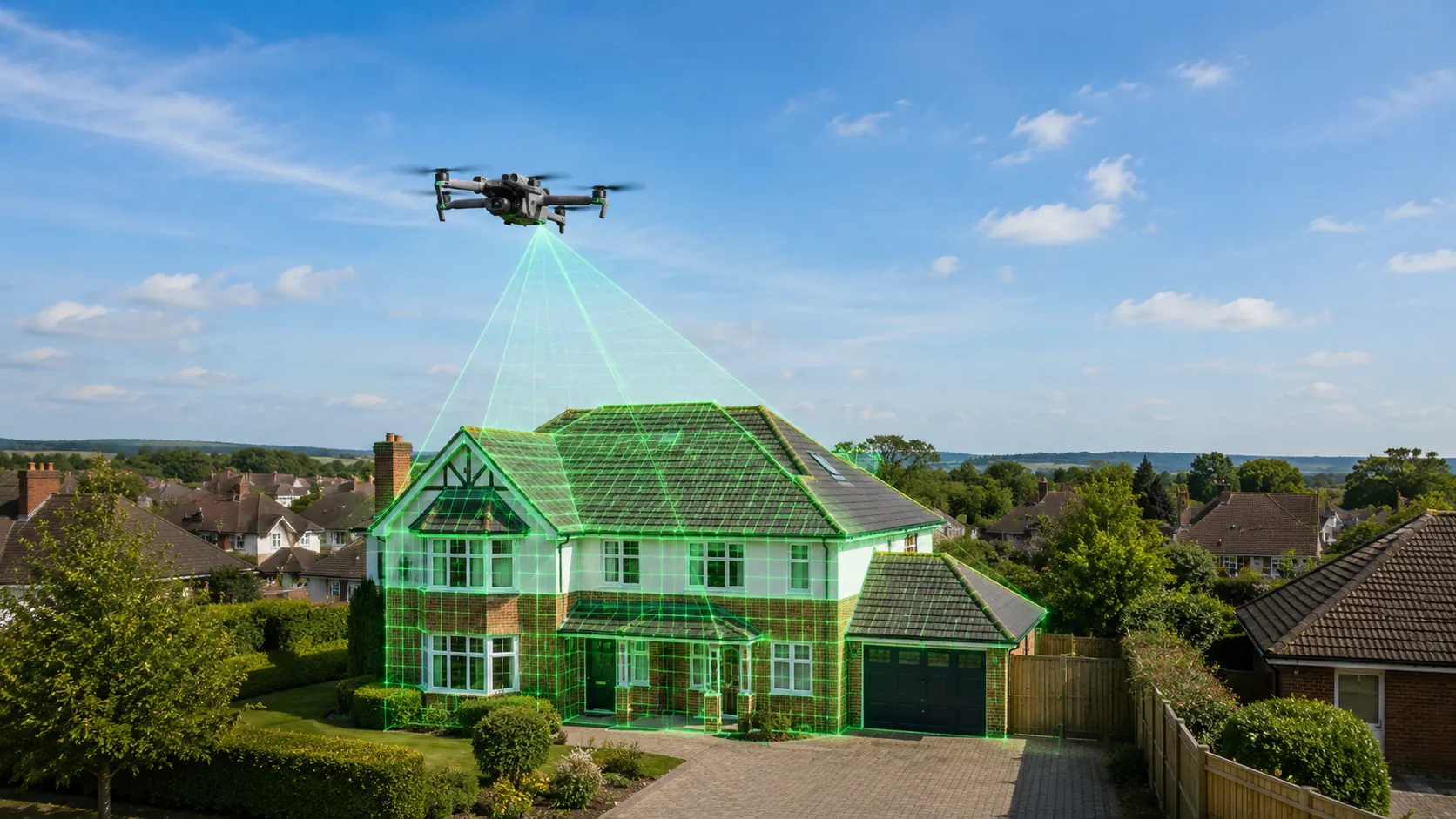
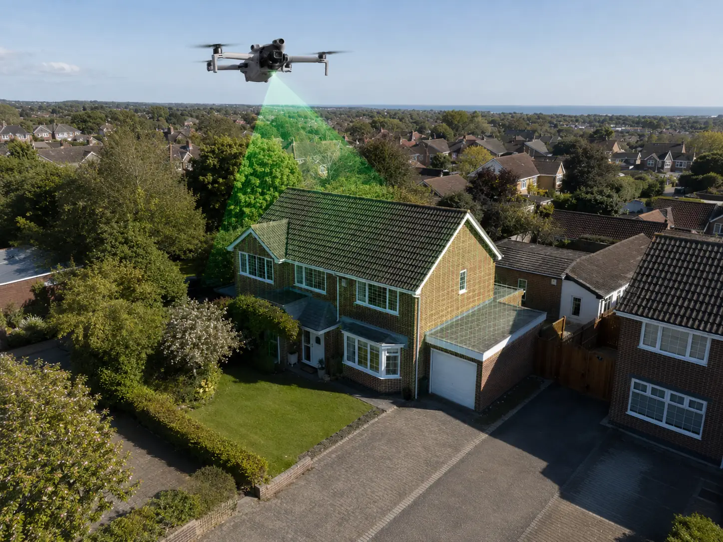
Traditional roof and facade inspections rely on ladders, scaffolding or cherry-pickers — expensive, slow and limited in what they can safely reach. Our CAA-licensed drone pilots hover at the precise angle and distance to capture 4K close-up detail of every roof plane, chimney stack, gutter run and masonry joint.
The result is a comprehensive, photographic evidence pack that gives you, your insurer or your contractor a complete picture of the property's condition — without any scaffolding on your driveway.
- No scaffolding costs — save hundreds on access equipment
- Safe inspection of heights no worker can safely reach
- CAA-permitted pilots with public liability insurance
- High-resolution 4K evidence for insurance and contractors
- Same-week availability in most areas
- Detailed written report with timestamped imagery
What we survey
Our drone services
Aerial Roof & Chimney Surveys
Ridge tiles, lead flashing, chimney stacks and verge bedding inspected in 4K — no scaffolding required.
Gutter & Rainwater System Inspection
Full perimeter gutter runs, fascia boards, downpipes and hopper heads surveyed from heights no ladder can safely reach.
Brickwork & Facade Assessment
Spalling bricks, failed pointing, structural cracks and render delamination geo-tagged and mapped for your contractor.
Flat Roof & Skylight Surveys
Overhead imagery reveals ponding water, membrane tears and parapet joint failures before they become leaks.
Pre-Purchase Property Surveys
A complete aerial condition report before you exchange contracts — timestamped imagery and written defect summary included.
Construction Progress Monitoring
Regular GPS-referenced flyovers for developers and self-builders — ideal for planning compliance and investor updates.
Aerial Video & Social Media Content
4K cinematic footage and stills for Instagram Reels, YouTube, property marketing and show reels.
Insurance & Dilapidations Reports
CAA-compliant surveys with geo-tagged imagery and formal written reports accepted by major UK insurers.
How it works
From booking to report in 4 steps
Book your survey
Call or message us with your address and survey type. We confirm availability and pricing within 24 hours.
Site assessment
We check airspace restrictions, notify neighbours if required and plan the optimal flight path.
Flight & capture
Our pilot flies a systematic inspection pattern, capturing 4K video and high-resolution stills of every elevation.
Report delivery
A written report with geo-tagged images and recommended scope of works delivered within 48 hours.
CAA Permitted
Flyer ID & Operator ID held by all pilots
£5m Public Liability
Fully insured for residential & commercial
48-hr Report
Written report with geo-tagged photo evidence
FAQs
Drone survey questions
Our pilots hold a CAA Flyer ID and Operator ID and operate under the UK Drone Code. For residential surveys we fly within the permitted parameters and notify neighbours where required. No planning permission is needed.
A standard semi-detached or detached property takes 30–60 minutes on site. We then process and compile the report, which is delivered within 48 hours.
We shoot in 4K video (3840×2160) and up to 48MP stills, giving enough detail to read individual mortar joint widths and identify hairline cracks in brickwork.
Drone surveys are a powerful complement to traditional surveys, providing evidence of external defects that are difficult or impossible to see from ground level. They do not replace a full RICS structural survey but are widely used alongside them.
We cover Essex, Hertfordshire and surrounding areas — including Bishop's Stortford, Harlow, Chelmsford, Brentwood, Ware, Hertford and Epping.
We require dry conditions with wind speeds below 20 mph. If weather prevents flying on the booked day, we reschedule at no extra charge.
Book a survey
Get your drone survey quote
Tell us about your property and the type of inspection you need. We will confirm availability, pricing and a convenient date — usually within 24 hours.
0208 1333987Areas we cover
Essex, Hertfordshire and surrounding areas
Get started
Ready to see your property from above?
Book a CAA-permitted drone survey and get a full report with 4K imagery — no scaffolding required.